Introduction
Colota is a self-hosted GPS tracking app for Android. It sends your location to your own server over HTTP(S), works offline, supports geofencing, and has no analytics or telemetry.
Key Features
- Self-Hosted - Send location data to your own server. Works with Dawarich, GeoPulse, Home Assistant, OwnTracks, Overland, PhoneTrack, Reitti, Traccar or any custom backend.
- Privacy First - No analytics, no telemetry, no third-party SDKs. Open source (AGPL-3.0).
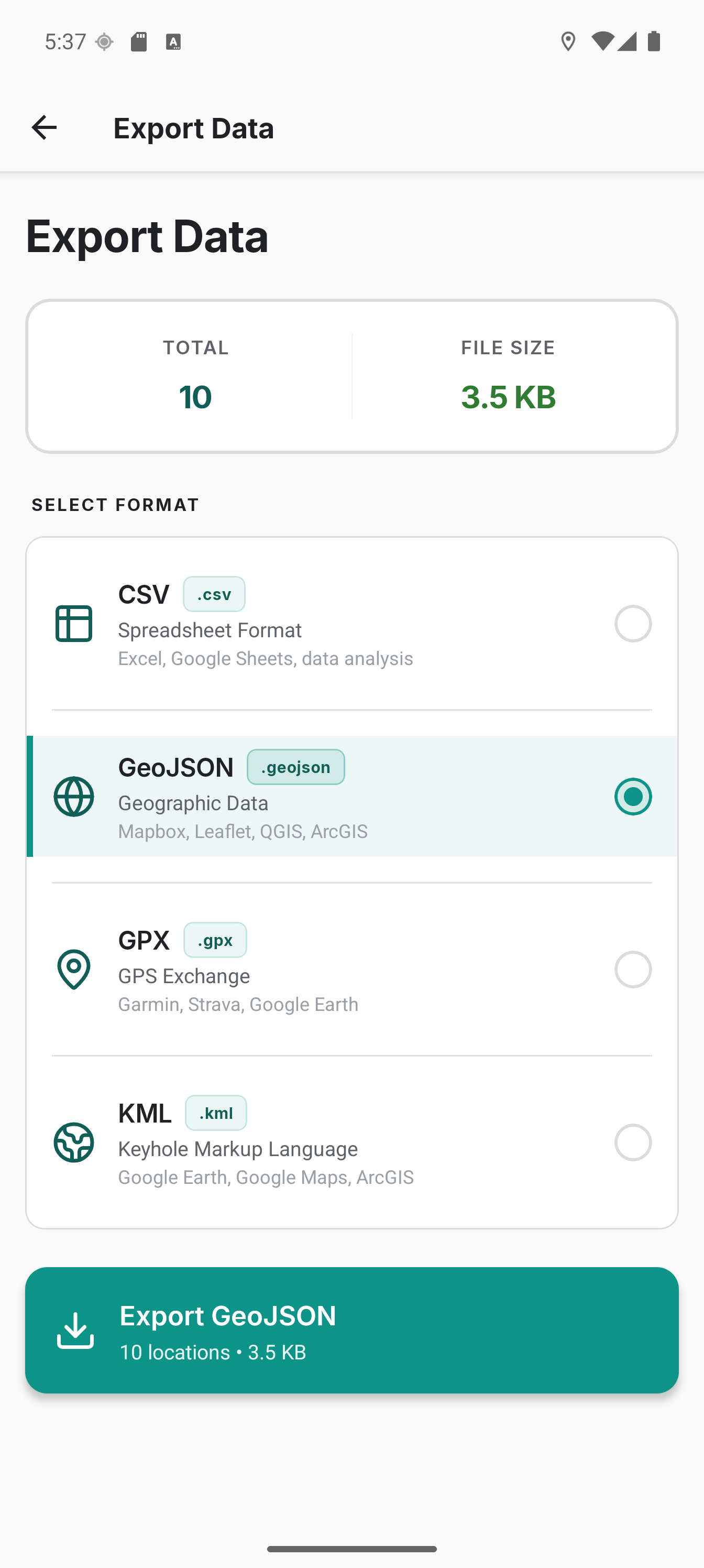
- Works Offline - Fully functional without a server. Export as CSV, GeoJSON, GPX, or KML.
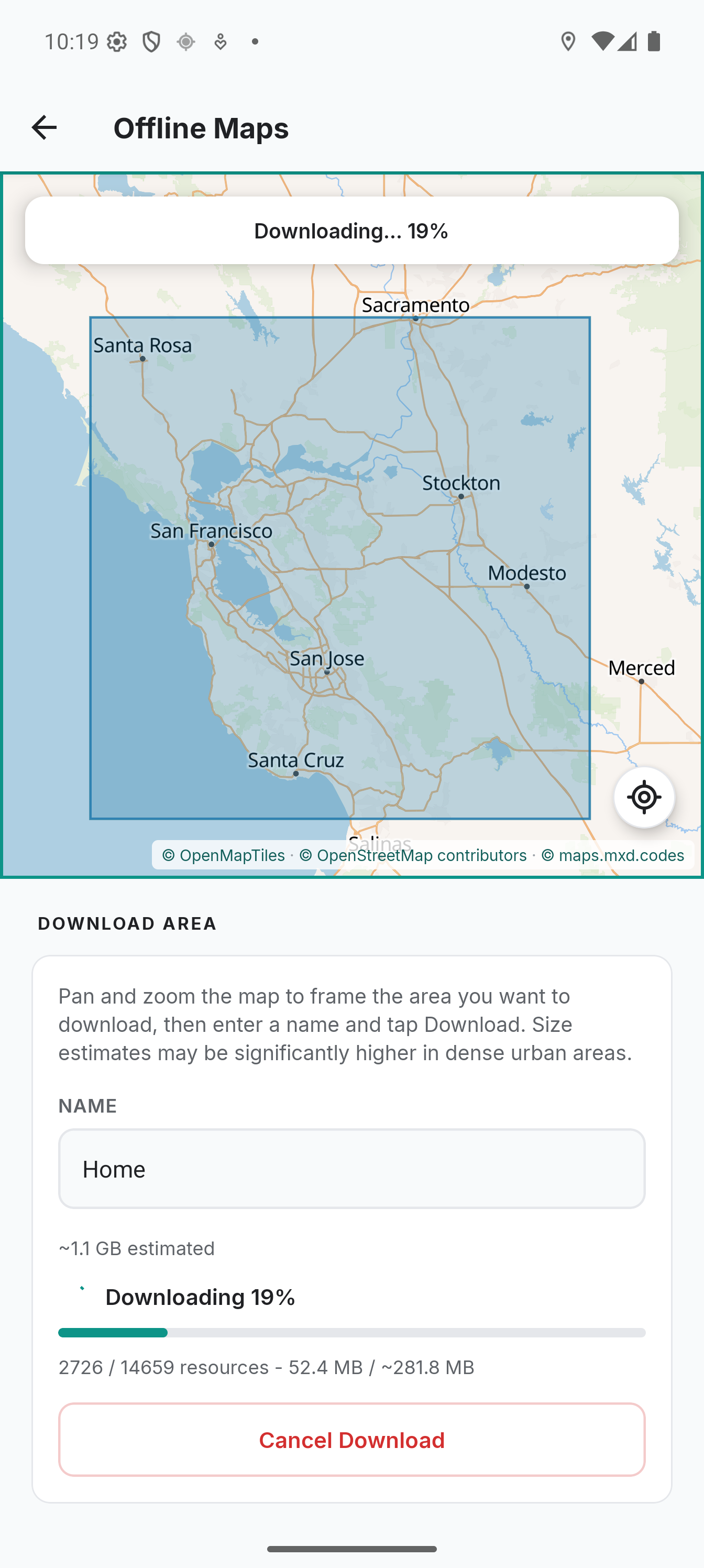
- Offline maps - Download map areas to your device for use without an internet connection.
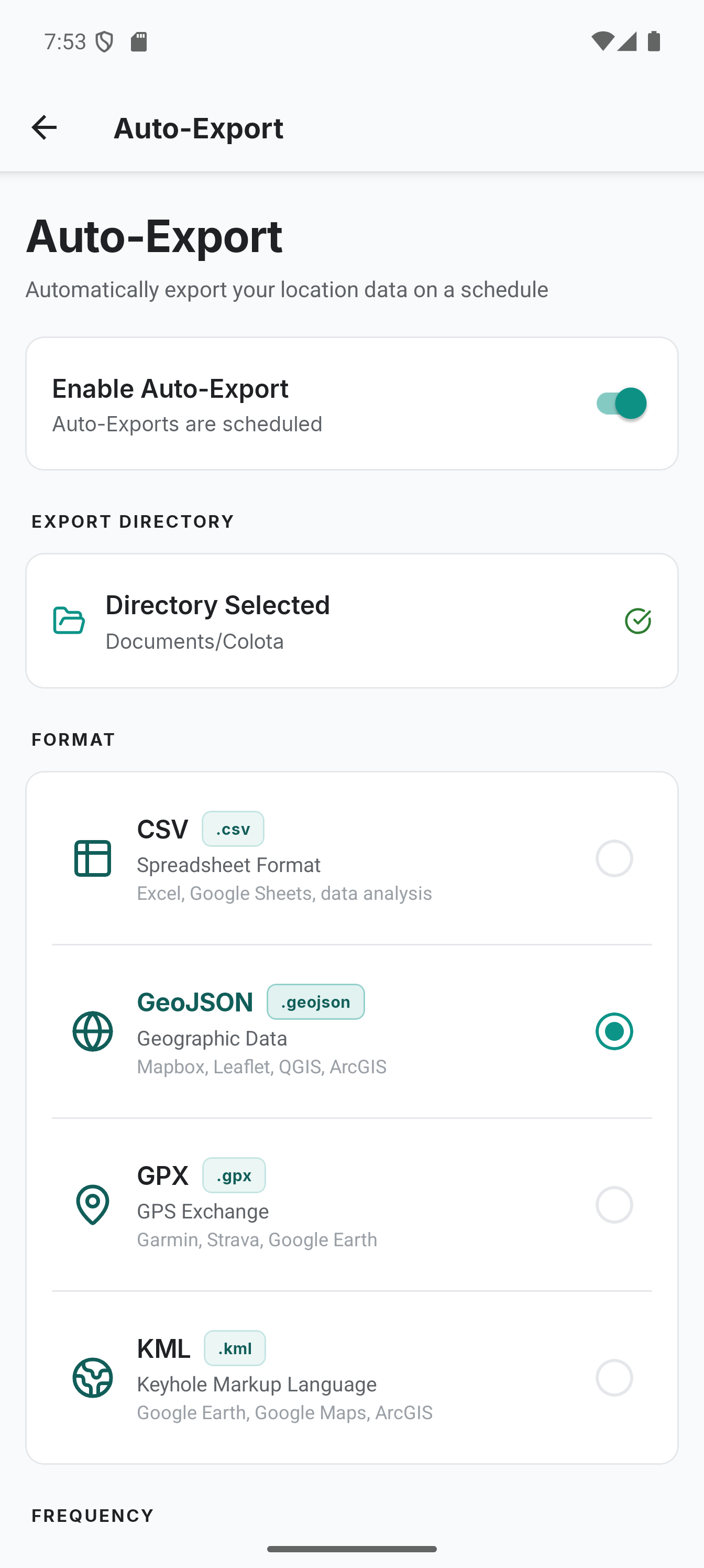
- Scheduled Export - Automatic daily, weekly or monthly exports to a local directory with file retention management.
- Encrypted Backup - Single password-encrypted archive of locations, settings, geofences and credentials.
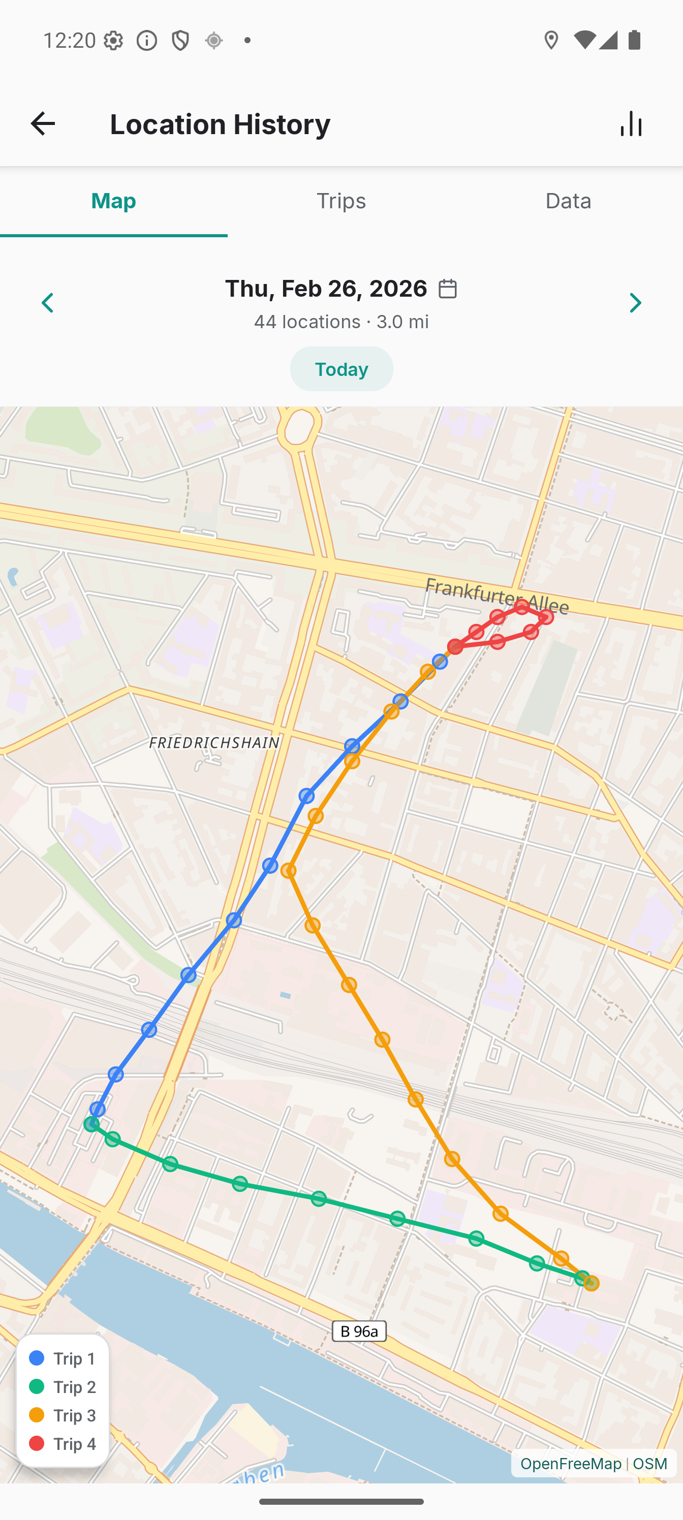
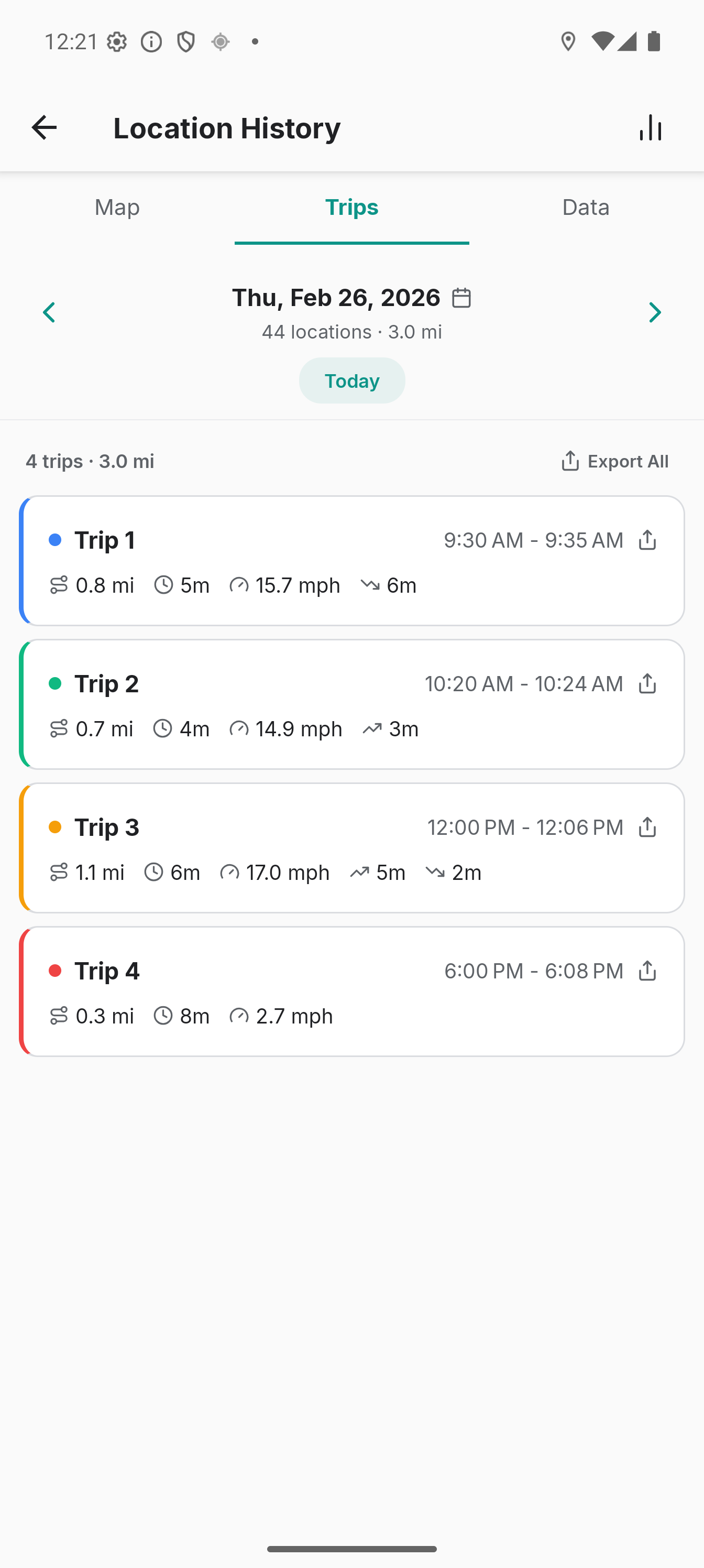
- Location History - View daily summaries, trip segmentation with manual merge and split, calendar with activity dots, per-trip export and per-point notes or deletion.
- Import Your History - Bring in existing tracks from GeoJSON, Google Timeline, GPX, KML or CSV.
- Reliable Tracking - Foreground service, auto-start on boot and exponential backoff retry.
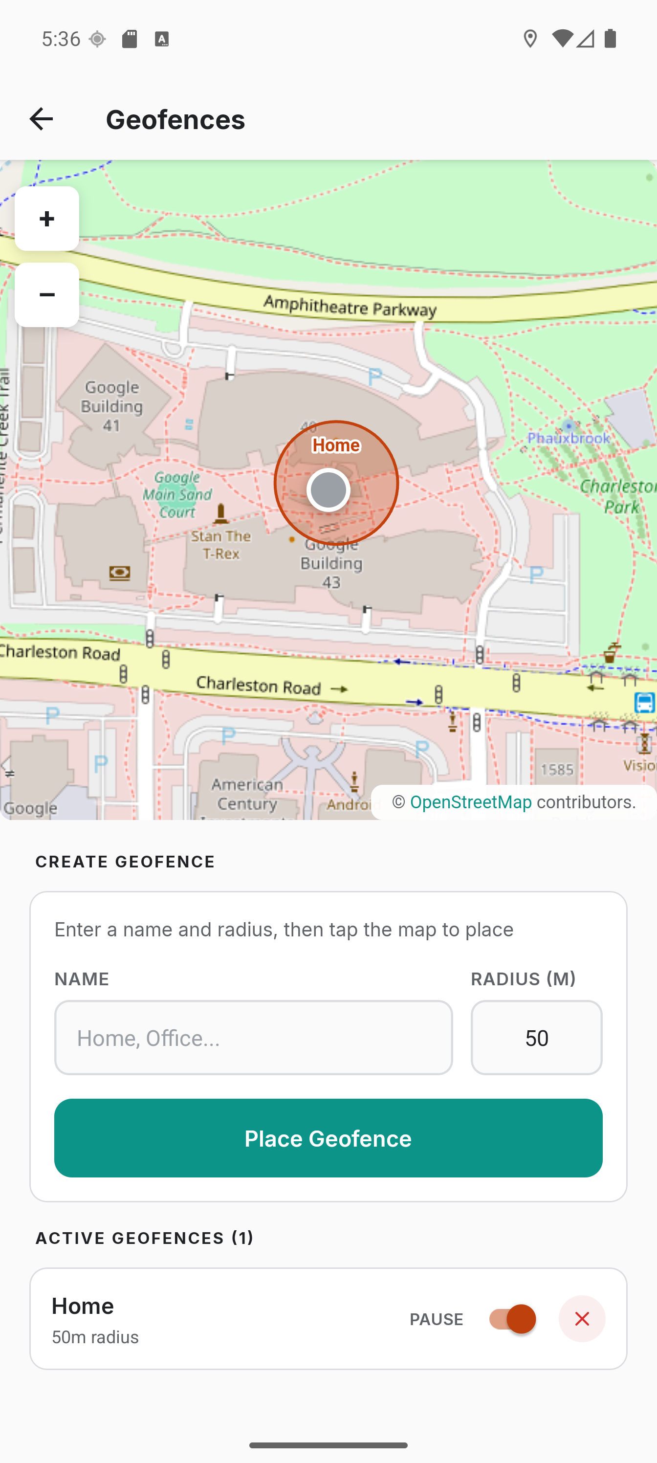
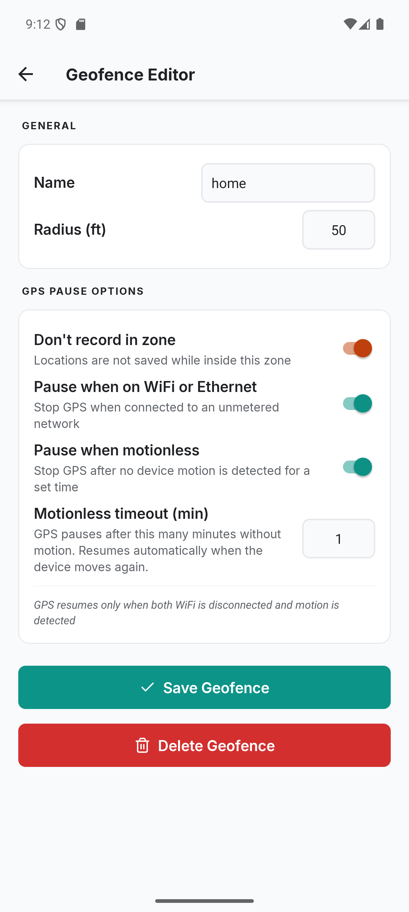
- Geofencing - Pause zones that stop recording locations. Optionally stop GPS entirely when on WiFi or when the device is motionless.
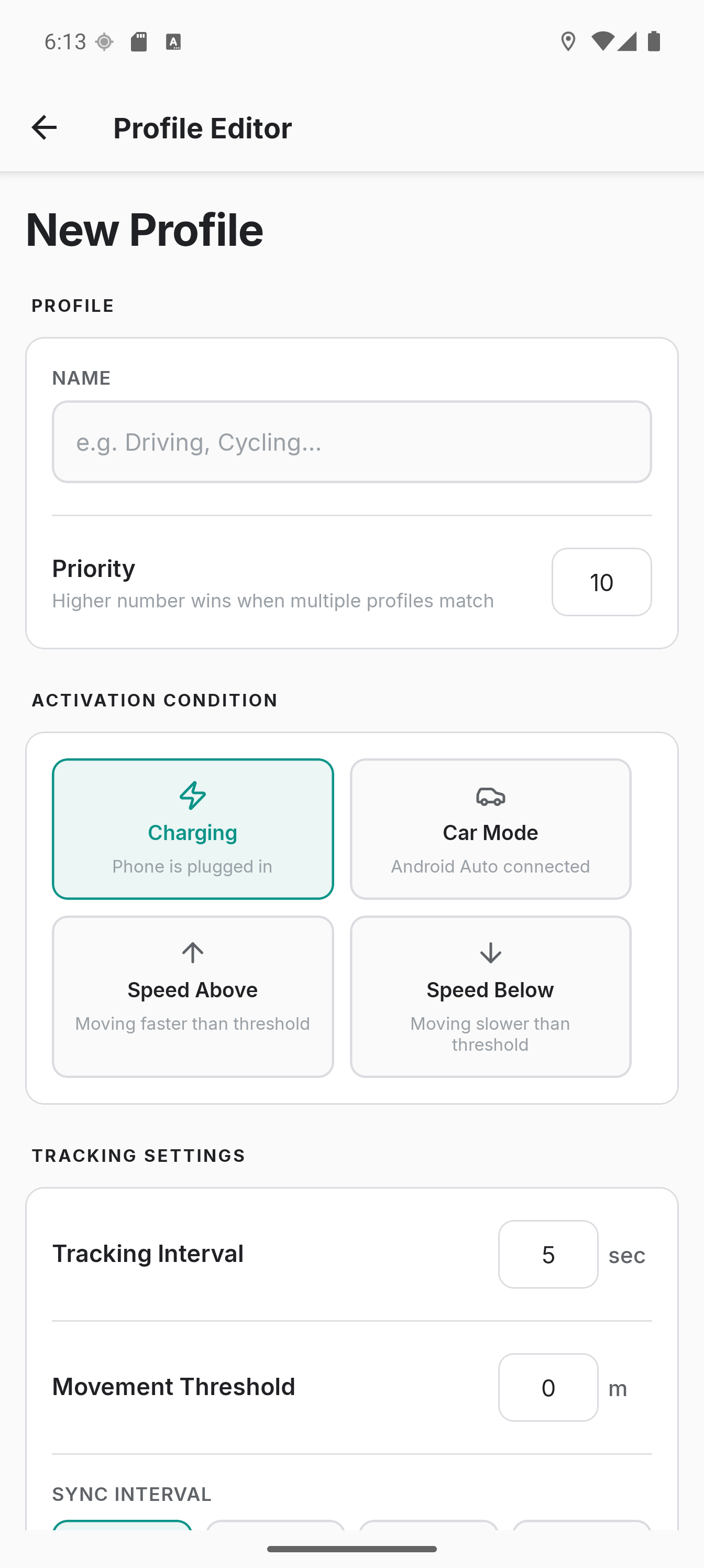
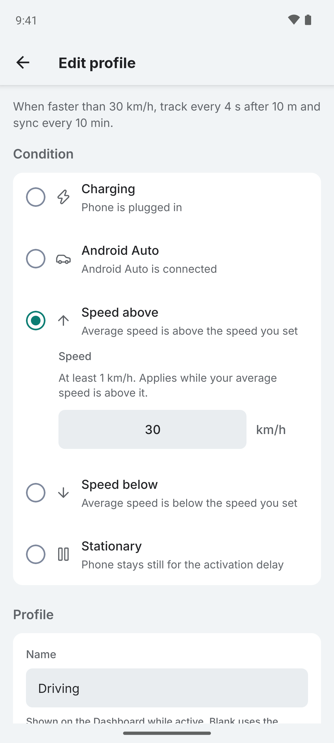
- Tracking profiles - Automatically adjust GPS interval, distance filter and sync settings based on conditions like charging, Android Auto, speed or stationary detection.
- Flexible Sync - Instant, batch, Wi-Fi only or offline modes.
- Display Settings - Choose between metric and imperial units, 12h or 24h time format. Auto-detected from device locale on first use.
- App Shortcuts - Long-press the app icon to start or stop tracking from the home screen. Compatible with automation apps like Tasker and Samsung Routines.
- Quick Setup - Configure devices via
colota://setupdeep links or QR codes. - Authentication - Basic auth, bearer token or custom headers. Optional mutual TLS (mTLS) with a PKCS12 client certificate stored in Android Keystore.
- Dark Mode - Full light and dark theme support, optionally coloured from the Android wallpaper.
App Screens
Colota has twenty-seven screens, each focused on a specific task:
| Screen | Purpose |
|---|---|
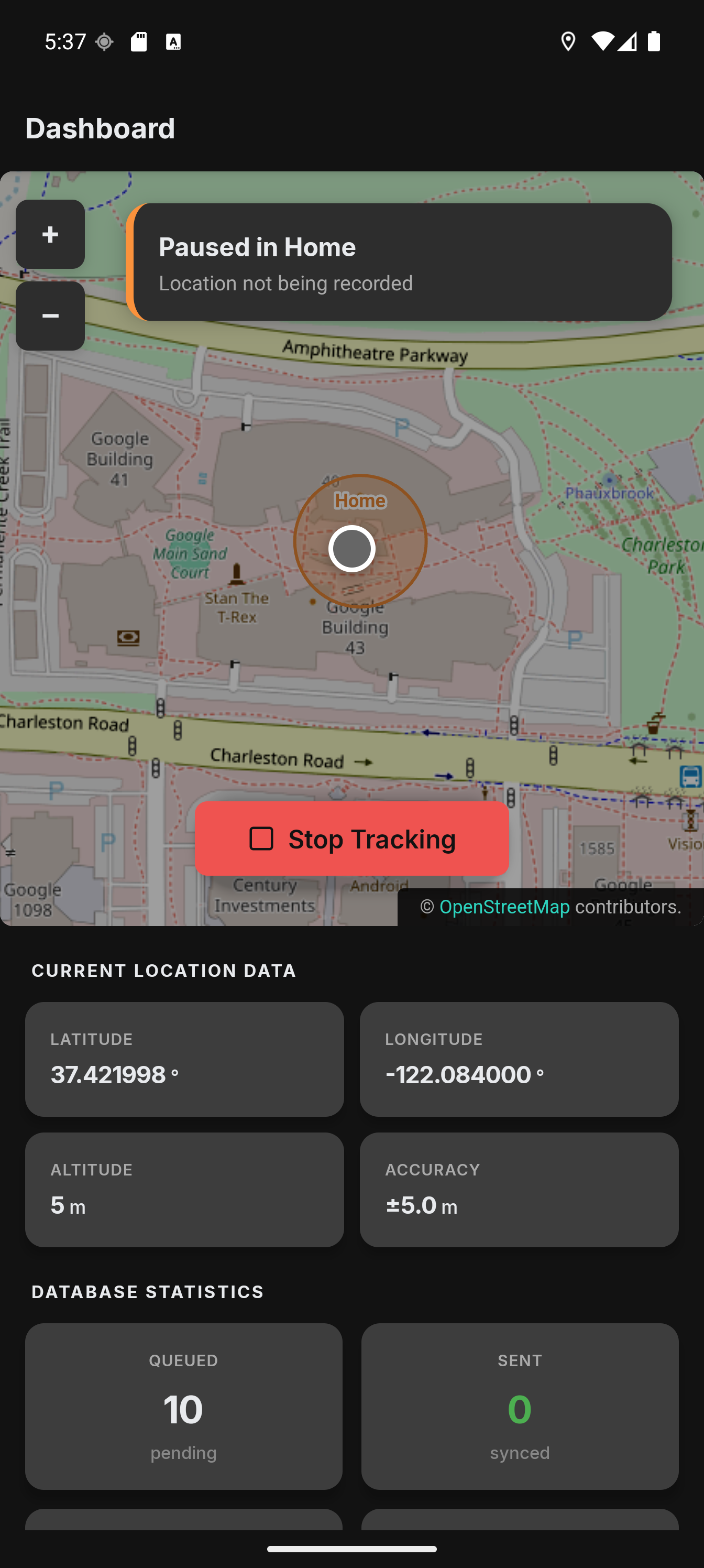
| Dashboard | Live map with current coordinates, today's track overlay, tracking controls, database stats, and geofence status |
| Settings | The hub: Tracking, Display, Data, Help and About, each row showing the value it holds |
| Connection | Server endpoint URL, offline mode toggle and connection test |
| Tracking & sync | GPS polling interval, distance filter, accuracy threshold and sync strategy preset |
| Appearance | Light/dark theme, wallpaper colors, unit system, time format and custom map tile URLs |
| Request format | How the request is shaped: the backend template, the HTTP method, the field names and any custom fields |
| Backend template | Pick the backend Colota formats its payload for, each option describing what it sends |
| Authentication | Endpoint authentication (None, Basic auth, Bearer token) and custom HTTP headers |
| Client certificate | Client certificate from the device store or a .p12, and the trusted server CA |
| Geofences | Create pause zones by tapping the map, view all zones with pause option indicators |
| Geofence Editor | Configure a zone: name, radius, record pause, WiFi pause, motionless pause and timeout, stationary heartbeat |
| Place zone | Pick a zone's centre on a map with its radius drawn live, handing it back to the editor |
| Offline maps | Download map areas to the device for use without an internet connection |
| Tracking profiles | Create and manage condition-based profiles that automatically adjust tracking settings |
| Profile Editor | Configure profile name, condition trigger, GPS interval, distance filter, sync interval, priority, and deactivation delay |
| Location History | Browse recorded locations on a track map with calendar day picker and trip-colored segments, view segmented trips with per-trip stats; tap a point to add a note or delete it |
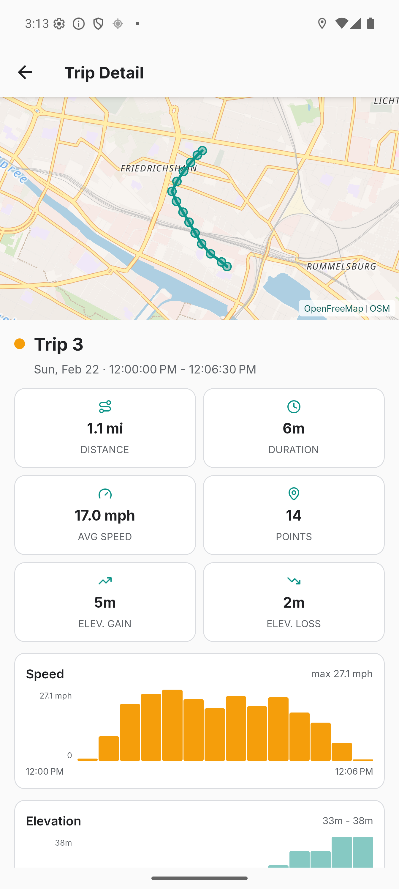
| Trip Detail | Full trip view with dedicated map, stat rows (distance, duration, avg speed, elevation), speed and elevation profile charts, export and delete |
| Location Summary | Distance, trips, active days and average per day for a week or a month, stepped with chevrons, with each day opening in Location History |
| Export & import | Write locations to CSV, GeoJSON, GPX or KML, and read them back from GeoJSON, Google Timeline, GPX, KML or CSV with a preview before committing |
| Auto-export | Configure scheduled exports: directory, format, frequency, time of day (with weekday or day-of-month for weekly/monthly), export range and file retention |
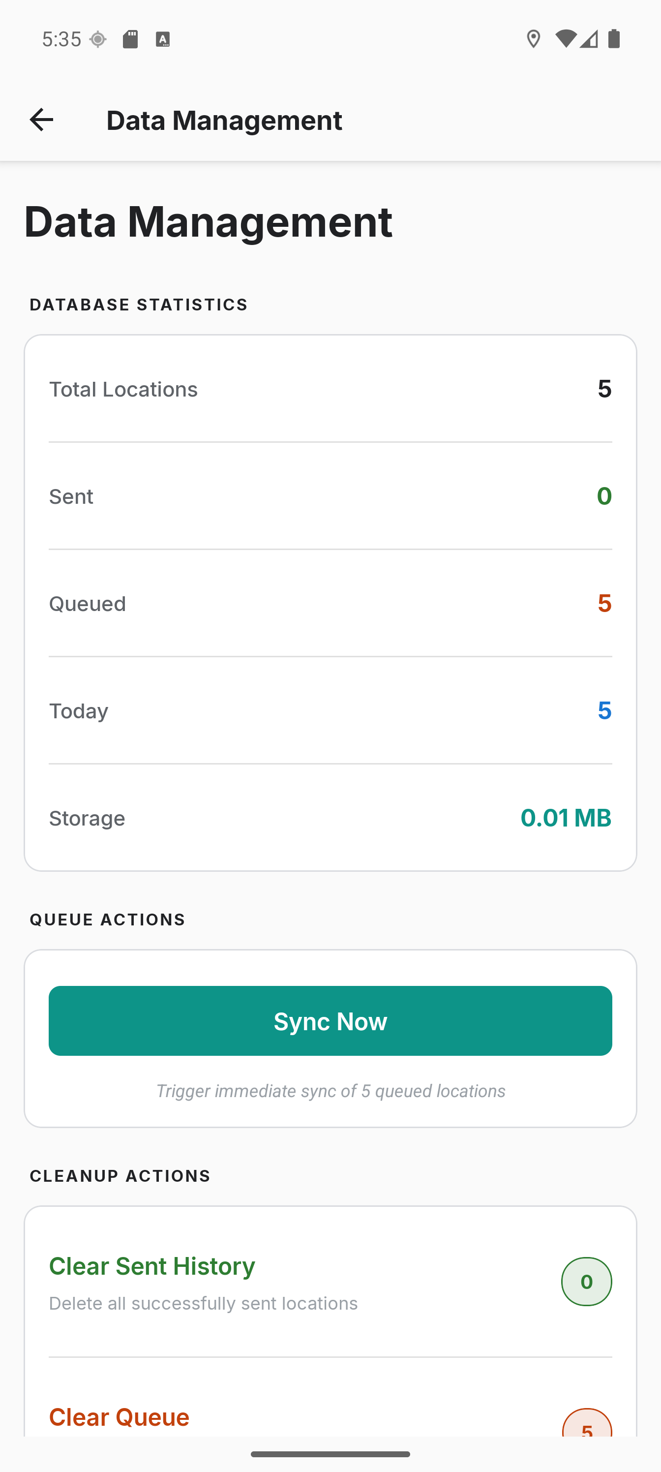
| Data management | Delete by sync state or age, compact the database |
| Backup & restore | Create or restore a single password-encrypted .colota archive of all data (locations, settings, geofences, credentials) |
| Setup Import | Confirmation screen for deep link configuration imports (colota://setup) |
| Share setup | Build a colota://setup link or QR code from selected settings to configure another device |
| Logging | In-app activity log viewer (level filtering, search, export) plus opt-in persistent file logging |
| About | Version and build, then the privacy policy, licence and source code |
Screenshots
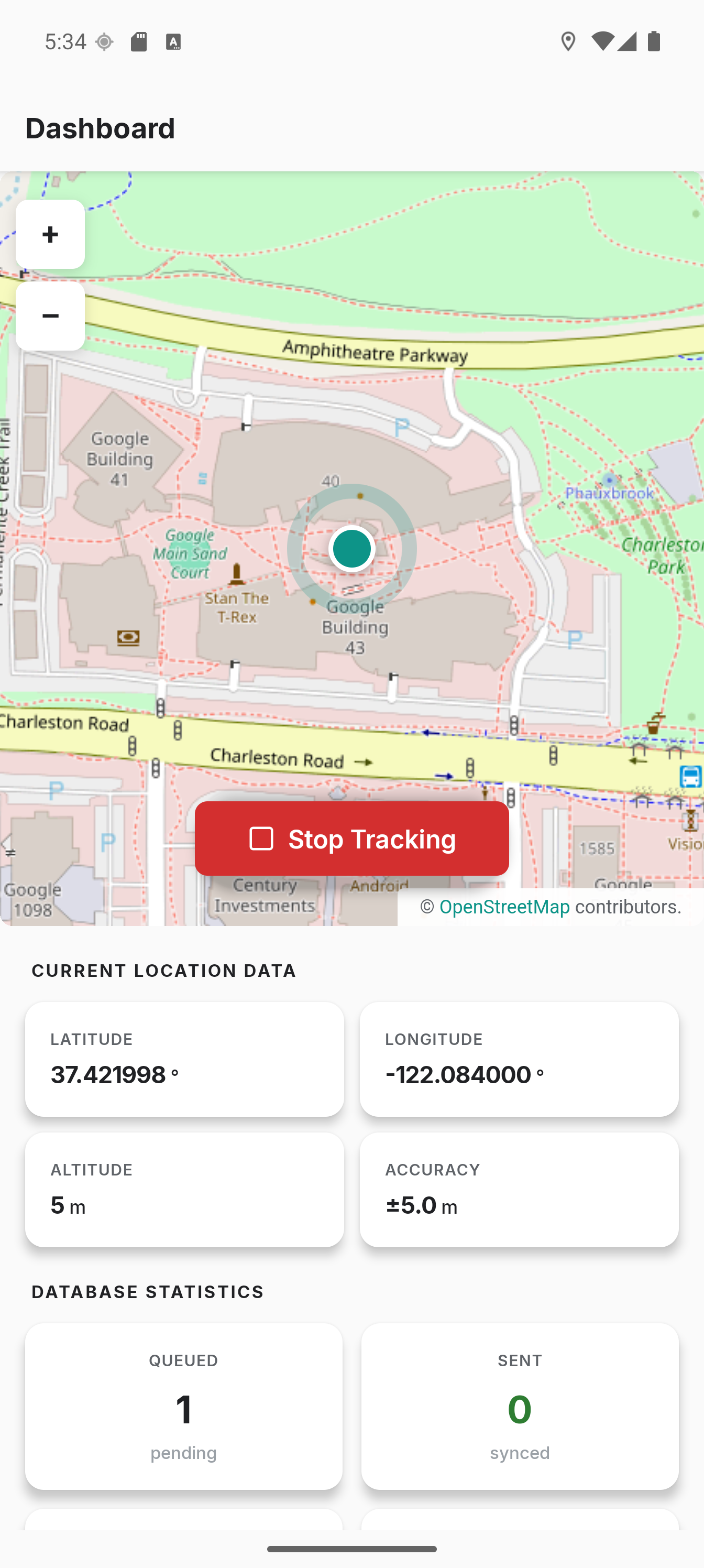
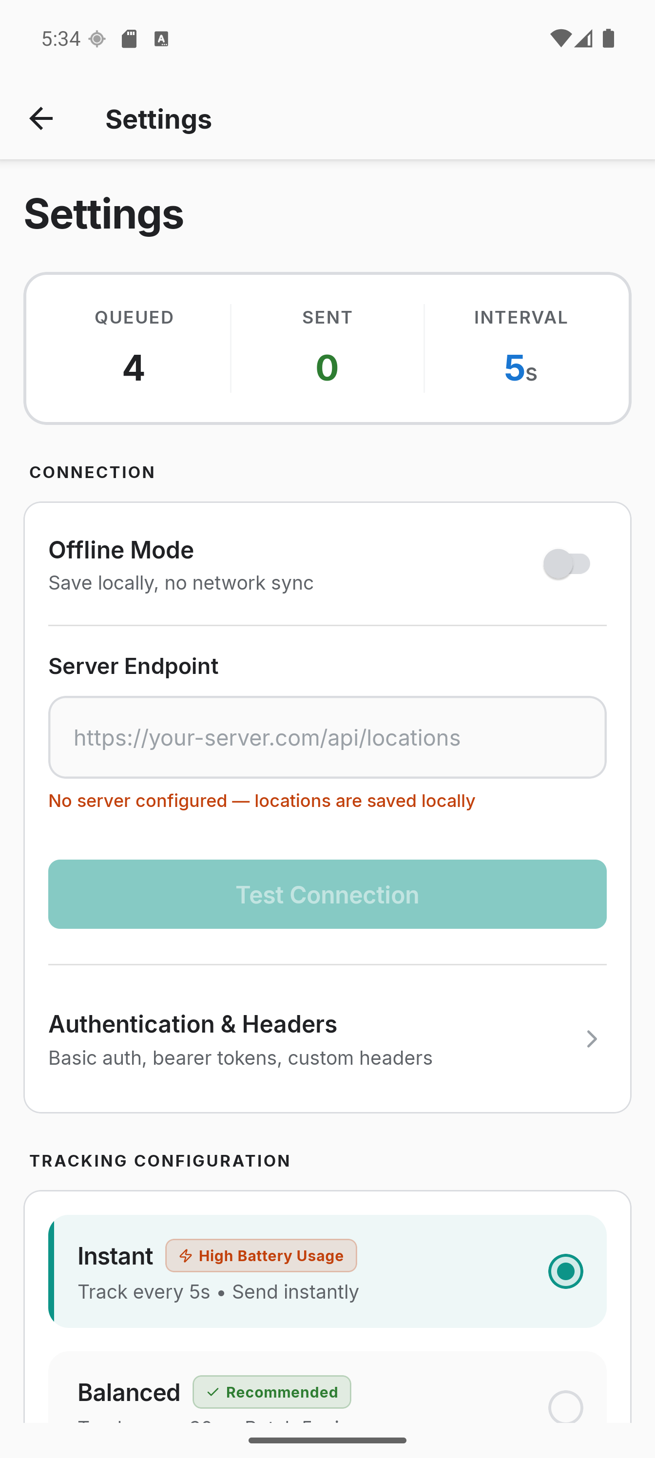
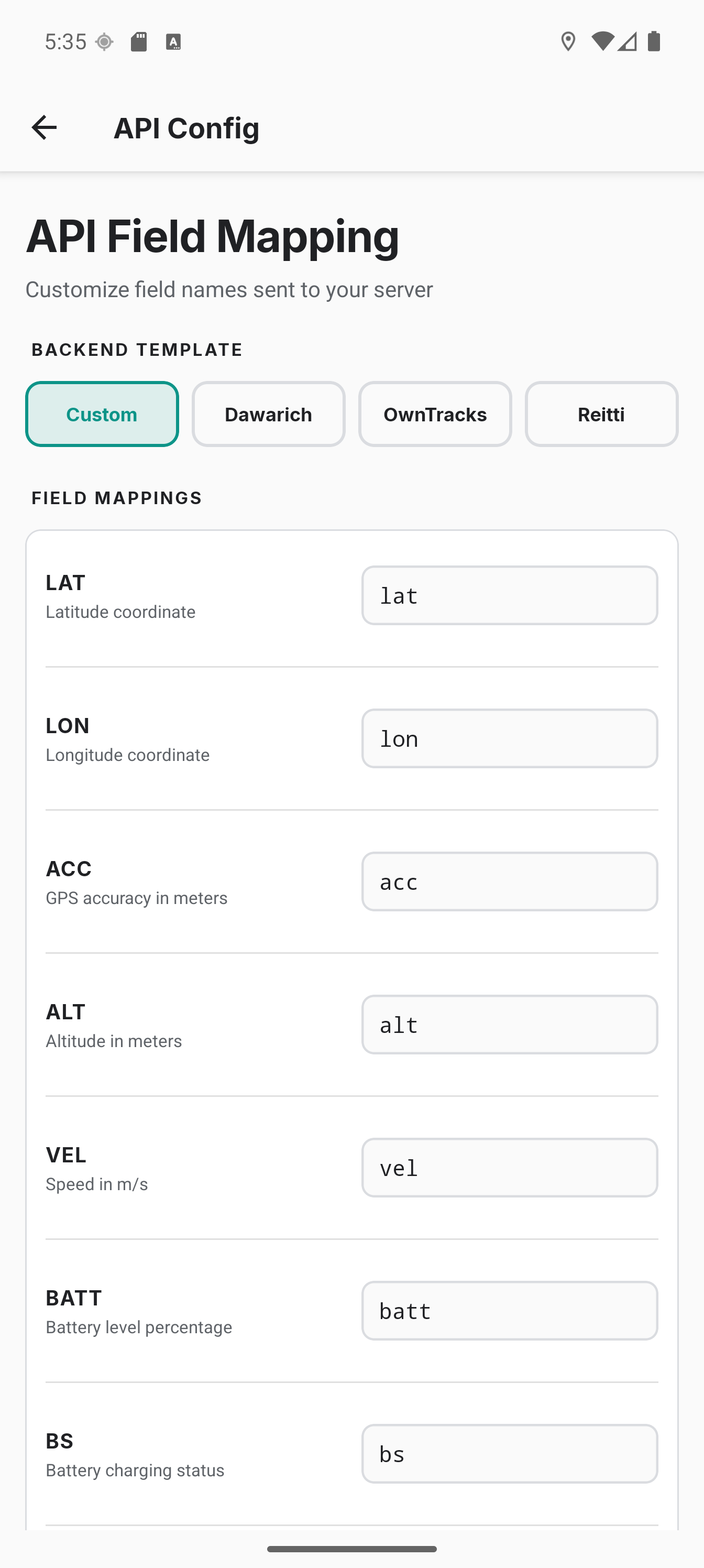
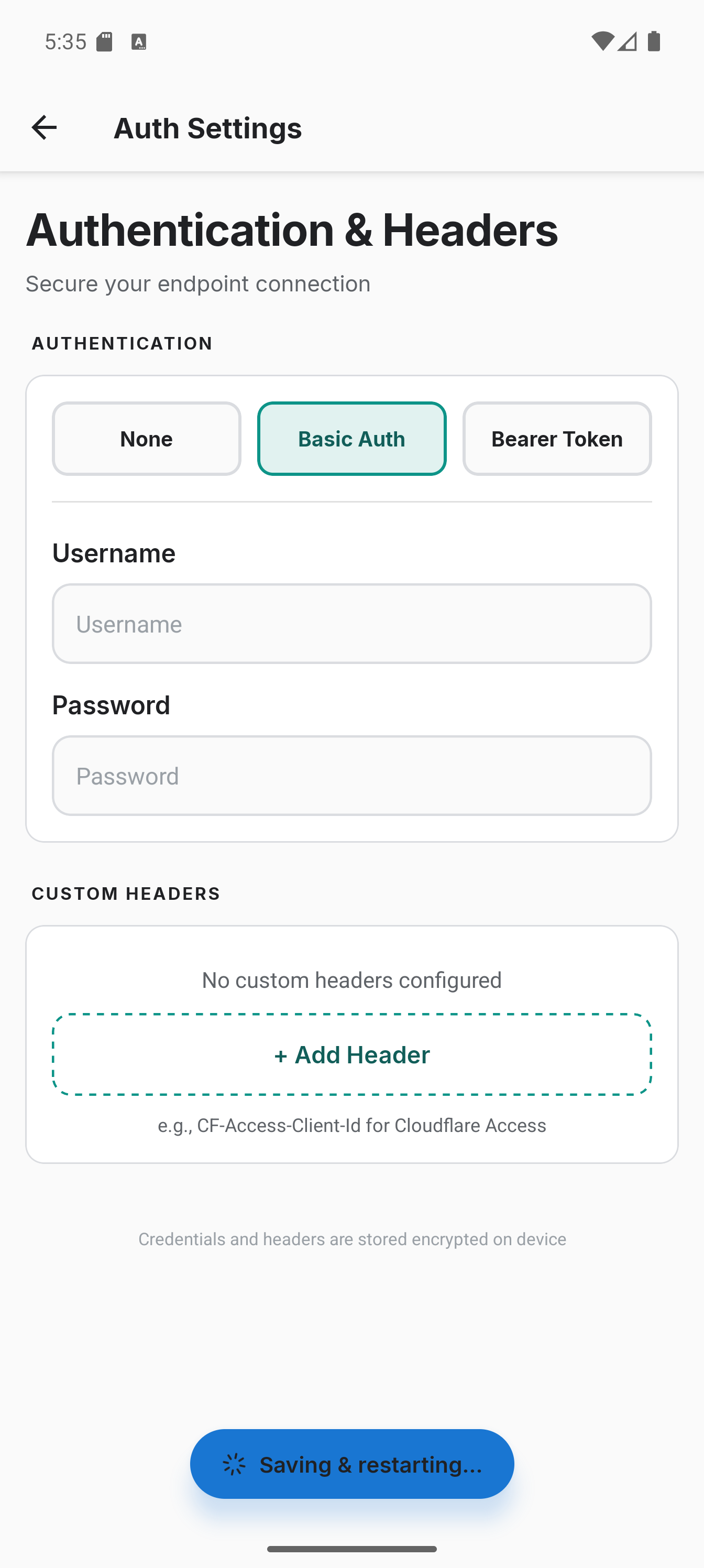
Architecture
Colota is a monorepo with a React Native UI layer and native Kotlin modules for background tracking:
- apps/mobile - React Native + Kotlin Android app
- apps/docs - This documentation site (Docusaurus)
- packages/shared - Shared theme colors, typography, and types
The native layer handles the foreground service, database, HTTP sync, geofencing, and credential storage. See the Architecture page for details.
License
Colota is licensed under the GNU Affero General Public License v3.0. All modifications must remain open source.